Document details
9
1
S. Lemmens, T. Flohrer, F. Schmitz

Abstract
Space situational awareness of the Low-Earth Orbit (LEO) region is today mostly enabled by ground networks of radar sensors. The main disadvantage of such systems is that they provide unbalanced coverage favouring the Northern hemisphere while also having difficulties observing targets below a few centimetres, including potentially dangerous space debris. Recent concepts like the ESA VISDOMS mission are trying to overcome some of these difficulties using space-based observation platforms. The next step in optical space-based surveillance would be to get multiple coordinated sensors directly to space, seamlessly compensating for the limitations of ground networks. However, even under the hypothesis of using small satellites, the high cost of space launches makes the cost-benefit analysis of such a scenario uncertain.
This work aims to analyse the maximum expected performance of space-based surveillance networks as a function of the number of satellites for different system architectures. Our goal is to obtain such parametric dependencies for different performance metrics, like maximum observable distance, system coverage, and expected target revisit time. These metrics vary depending on the sensor specifications, the network geometry and the target characteristics, and there are currently no agreed methods for navigating such a high dimensional tradespace for selecting the best configurations.
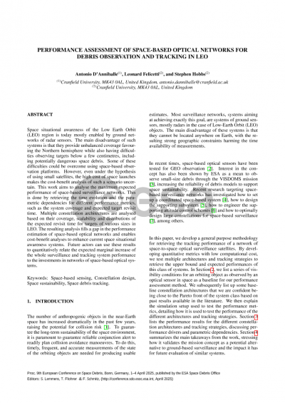
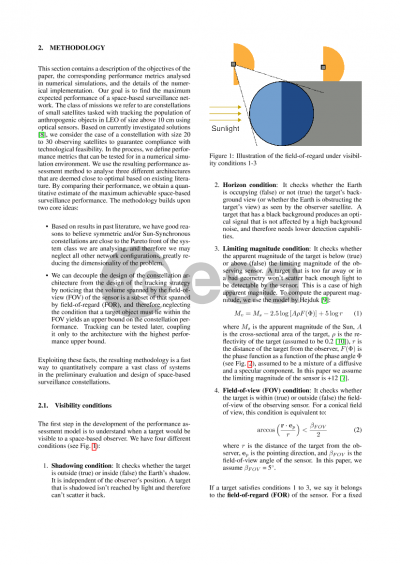
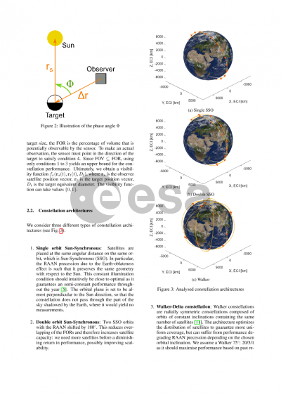
To solve this, we first consider the sensor design, retrieving the maximum observable distance as a function of the target size using parametric analysis. Using these results, multiple constellation architectures are explored in terms of coverage, that is the portion of the LEO region they have access to over an orbital period. To limit the environmental impact, only constellations on circular orbits at low altitudes are considered. Further architectural considerations include the exploitation of Sun-synchronicity to maximise the measurement opportunities, the overlapping of the field-of-regard of the sensors to guarantee instantaneous coverage with multiple sensors, and the minimisation of local concentrations of sensors to avoid excessive coverage of certain orbital regions. The optimal architecture is chosen not only based on coverage maximisation for a fixed number of satellites, but also on its scalability as related to the marginal increase in coverage with increasing observing satellites. Finally, the distribution of the expected revisit time of targets of various sizes is retrieved using known distributions of debris in LEO and using a Monte Carlo analysis. These results can be used to understand which portions of the target population can be reliably tracked as they produce frequent observations.
The resulting analysis fills a gap in the performance estimation of space-based optical networks and enables cost-benefit analyses to enhance current space situational awareness systems. This is achieved first by exploring scalable and optimal networks through numerical simulations, obtaining the Pareto front of the coverage with respect to the number of constellation satellites. Then by exploring the average target revisit time over the debris population, a metric related to target trackability is obtained. This work is ultimately able to show that networks of space-based optical sensors can compensate for some of the limitations of ground networks. Moreover, future actors can use these results to quantitatively relate the expected marginal increase of the whole surveillance and tracking system performance to the investments in networks of space-based optical systems.
Preview