Document details
Abstract
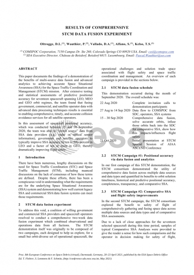
This paper documents the findings of a rapid demonstration of the benefits of multi-source data fusion and advanced analytics to achieving accurate Space Situational Awareness (SSA) for the Space Traffic Coordination and Management (STCM) mission. In this assessment of spacecraft positional accuracy, which was conducted between 15 and 30 September 2020, the team was able to “crowd source” data from SSA data providers, government and satellite operators to typically improve SSA accuracy by a factor of two or more in LEO and ten or more in GEO, thereby dramatically improving flight safety.
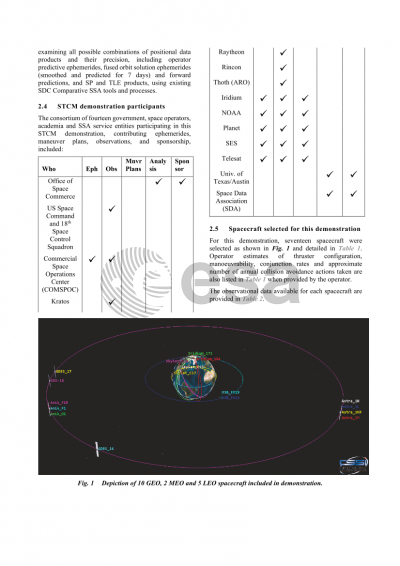
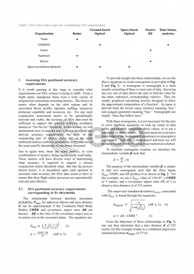
The consortium of fourteen government, space operators, academia and SSA service entities participating in this STCM demonstration included:
• The Office of Space Commerce, providing STCM insight and sponsorship
• US Space Command and 18th Space Control Squadron, contributing LEO, MEO and GEO SSN observations to the COMSPOC Fusion System
• The Commercial Space Operations Center (COMSPOC, contributing optical observations and comprehensive data fusion and analytics.)
• Rincon for TDOA and FDOA (passive RF) observations
• Raytheon radar for inclined LEO radar tracking
• Kratos passive RF observations
• Algonquin Radar Observatory (ARO) for GEO radar tracking of North America spacecraft
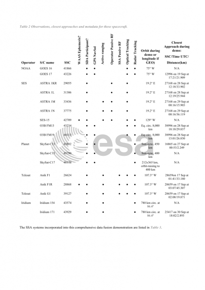
• NOAA GPS NavSol data and maneuver plans for GEO weather spacecraft.
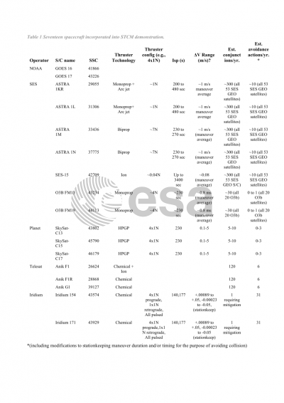
• SES, for ephemerides, maneuver plans, passive RF (PaCoRa) and active ranging measurements for selected Astra, SES and O3B (w/GPS NavSol data) spacecraft
• Telesat ephemerides, maneuver plans, and active ranging measurements for selected Anik spacecraft
• Planet for ephemerides, maneuver plans (on Space-Track) and GPS NavSol data for selected SkySats
• Iridium for ephemerides from SDC, active ranging extracted from Iridium track files, maneuver plans from Space-Track for selected spacecraft
• Univ. of Texas/Austin, to challenge assumptions on motion, physics, algorithms used to do statistical inferences).
• Space Data Association (SDA), using their SDC as the platform to showcase the mature data lake framework in action, coupled with advanced quality control, data fusion and comparative SSA processes.
There exist a wide variety of conjunction assessment screening metrics. The choice of metric often depends on the orbit regime and its associated threat profile, operator staffing, maneuver prolusion capability and resources, etc. But one of the most common metrics is collision probability, where a one-in-ten thousand threshold is most commonly used. In order to support the use of such a metric in conjunction assessment, the accuracy of SSA data must be sufficient to support that threshold and be operationally relevant and viable. The paper provides the maximum probability expressions required to map the user’s collective probability threshold into derived accuracy requirements for each of the conjuncting pair of objects in LEO, MEO and GEO.
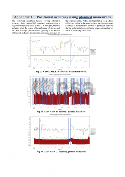
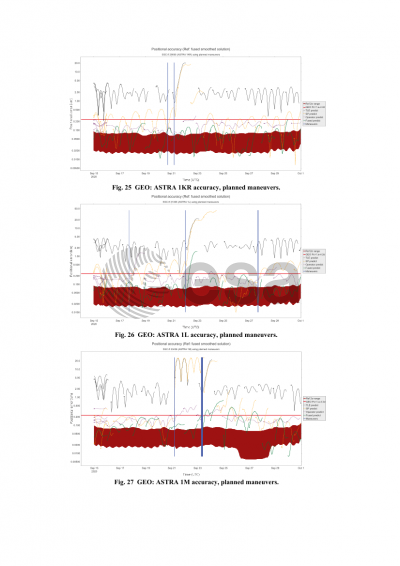
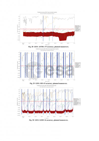
The consortium was able to demonstrate the utility of comprehensive data fusion across multiple data sources and data types and quantified its benefits to orbit solution timeliness, historical and predictive positional accuracy, completeness, transparency, and comparative SSA. After extensive testing and statistical assessments of predictive positional accuracy for seventeen spacecraft spanning LEO, MEO and GEO orbit regimes, the COMSPOC team found that fusing government, commercial, and satellite operator data with advanced data processing techniques results was key to achieving SSA information of sufficient quality to support today’s conjunction assessment process. This improved accuracy is essential to enabling comprehensive, timely, and accurate STCM for all satellite operators.
Preview
