Document details

Abstract
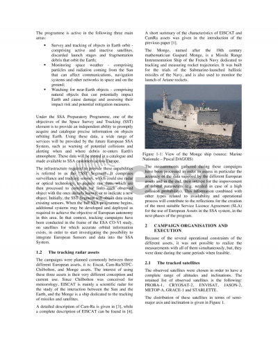
Following the decision at the Ministerial Council 2008 to initiate a Preparatory Programme on Space Situational Awareness (SSA), the European Space Agency started a series of activities together with industry, implementing both classical design approaches: bottom-up and top-down. For the Space Surveillance and Tracking segment of the programme, the bottom-up approach was initially addressed through various activities to evaluate the potential performance of contemporary European resources. One element of this investigation was the assessment of the existing European assets that can be used to generate tracking data on Earth orbiting objects at all altitudes between LEO and the GEO graveyard orbits. The study addressed both the technical performances of the assets and the identification of the operational constraints characteristic for each sensor. In this context, a paper was presented at the 2011 European Space Surveillance Conference in Madrid, Spain that discussed the results obtained using two existing European radars: EISCAT and Chilbolton. The emphasis of this new paper is to analyse the results obtained from a third asset: the BEM Monge, a measurement and test vessel of the French Navy operated for the French Direction Générale de l'Armement (DGA). The Monge's three primary radars were designed with the specific mission to detect and characterise the trajectory of missiles as part of France's national missile defence programme, however the radar on-board the Monge are also able to detect and track Earth-orbiting objects. Even though this role is not the primary one for the system, the achieved accuracy of the orbital tracks and resulting orbit determination is several orders of magnitude better than radars that have been developed for other uses. The evaluation carried out in the frame of the SSA programme helped demonstrate that the systems provided by the Monge are able to perform orbital tracking within the performance requirements of a federated SSA system. During the campaigns, the radars on the Monge were used to track several known satellites, pre-selected so as to cover a wide range of altitudes and inclinations in the LEO region. Several separate campaigns were done to track the satellites. Upon receipts of the resulting tracking data, orbit restitution was performed in order to characterise the significance and influence of the distinct observation parameters and to indicate the optimum procedure to improve the orbit estimation performance with a single asset or with a combination of the different assets used within the study. This paper describes the preparation of the campaigns as well as the results obtained. The campaigns were mainly driven by the availability of radar assets and the visibilities of the satellites. The precise orbit determination enabled the comparison of the performance of the different assets.
Preview
